NewsSpoiler

Central Virginia Local News

Sterling, VA news and local guide

Scan headlines near Sterling with city and nearby coverage, source links, weather, ZIP codes, nearby cities, and local discovery links in one clean NewsSpoiler page.

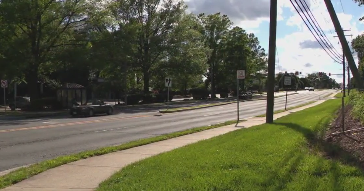
Sterling local news image Sterling local coverage

About Sterling

Sterling, Virginia. Counties or equivalents associated with this area: Loudoun. Associated ZIP codes: 20163, 20164, 20165, 20166, 20167.

Local News

Sterling news by local reach

City headlines come first, followed by nearby communities and a short state summary.

City

News in Sterling

Stories tagged directly to Sterling, VA.

Local advertising

Advertise in Sterling

Put a local business, service, event, or offer in front of people reading news for Sterling, VA.

Advertise here

Nearby

News near Sterling

Coverage from the closest nearby communities.

State

Virginia news

A short selection from Virginia; city and nearby coverage come first.

City Guide

Explore Sterling

News, maps, weather, travel, restaurants, attractions, and nearby places.

Location

Sterling is in Loudoun County, Virginia.

Region: Central Virginia

ZIP Codes

20163, 20164, 20165, 20166, 20167

NewsSpoiler API

NewsSpoiler connects local pages with structured news discovery through https://api.newsspoiler.com.

Discover Sterling

In 1962 the 1,762 acres of what is now Sterling Park were still large farms. Along Route 7, the Leesburg Pike, lay the dairy farm of Jesse Hughes, a longtime head of the county's Democrats, and Fred Franklin Tavenner ran much of Sterling Farm on the southwestern fringe, land he had bought from Albert Shaw Jr., son of Albert B. Shaw, editor of the American Review of Reviews. One of Shaw's farms, 1,640 acres, was called the Experimental Farm because it was among the first in the area to receive a federal grant for applying scientific methods.

More about Sterling

Construction of Dulles International Airport began in 1959, and with water and sewer lines extended to it, land prices rose from about $125 to $500 an acre. Marvin T. Broyhill Jr. and his father planned to develop land near the airport, and in late 1961 they formed the Sterling Park Development Corporation, buying 1,762 acres in 14 parcels between April 28 and December 29, 1961, for $2,115,784, including the 226-acre Hughes farm at $1,700 an acre. They hoped to build on both sides of the planned Route 28, but Powell B. Harrison, who helped plan the road, insisted it be kept largely free of development for access to the airport, so Sterling Park was built east of Route 28 and the developers built their own through road, today's Sterling Boulevard. Broyhill planned to sell prefabricated homes marketed by U.S. Steel for about $17,000, $3,000 less than comparable houses in Fairfax County. Sources Wikipedia: Sterling, Virginia

Coordinates

39.0061000, -77.4288000

Local Time

10:01 PM America/New_York

County

Loudoun County

Weather near Sterling

Local weather data is temporarily unavailable.

Hotels

Find hotel options near Sterling for visits, events, and local travel.

Restaurants

Compare dining options, reservations, delivery, and nearby local food stops around Sterling.

Attractions

Explore parks, museums, landmarks, and things to do around Sterling.

Local advertising

Reach people exploring Sterling

Use an approved local advertising spot for a nearby offer, service area, address, or business profile.

Advertise here

Nearby Places

Nearby cities and regional coverage

Use nearby links to move through the same state and county structure.

More in Sterling

More about Sterling local news

NewsSpoiler organizes Sterling coverage with city and nearby headlines, source links, maps, weather, ZIP codes, nearby cities, travel links, restaurants, and attractions so readers can move naturally through nearby local coverage.

Sterling NewsSpoiler local discovery

Welcome to NewsSpoiler

One free SpiderTaz Network account works across every network site.