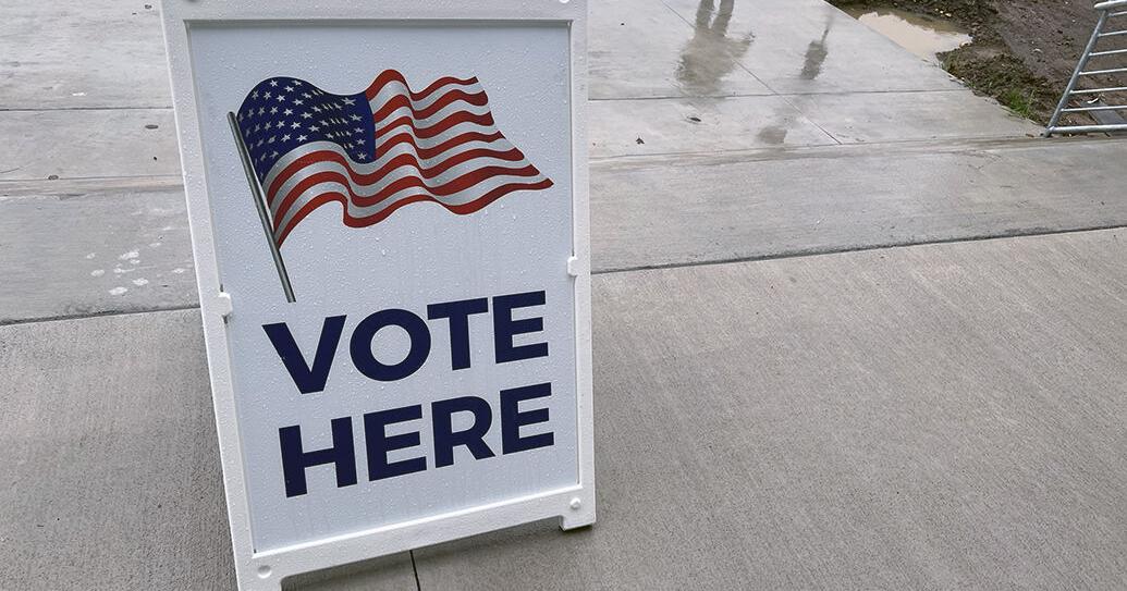
Look through our viewfinder as Election Day unfolds in Southwest Iowa
Nonpareil journalists are visiting polling sites in Council Bluffs and surrounding communities to chronicle the 2026 general election.
Nov 4, 2026Open source

Iowa Local News
Scan headlines near Council Bluffs with city and nearby coverage, source links, weather, ZIP codes, nearby cities, and local discovery links in one clean NewsSpoiler page.


Council Bluffs, Iowa. Counties or equivalents associated with this area: Pottawattamie. Associated ZIP codes: 51501, 51502, 51503.
Local News
City headlines come first, followed by nearby communities and a short state summary.
City
Stories tagged directly to Council Bluffs, IA.
Nonpareil journalists are visiting polling sites in Council Bluffs and surrounding communities to chronicle the 2026 general election.

Two digital billboards along Interstate 80 near the Iowa-Nebraska border are drawing attention to new Medicaid work requirements, which take effect for some...

The Council Bluffs Nonpareil and Sioux City Journal are teaming up to put together Top 10 rankings for Western Iowa. Here are the small and large school voll...
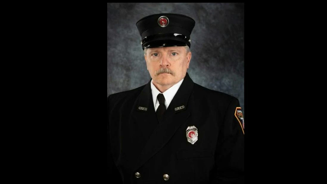
Firefighter/Paramedic Charles Jones, a 19-year veteran of the Council Bluffs Fire Department, died days after suffering a medical emergency.

COUNCIL BLUFFS — The Indian Hills volleyball team cruised to a regional sweep over Iowa Community College Athletic Conference (ICCAC) foe Iowa Western Comm...
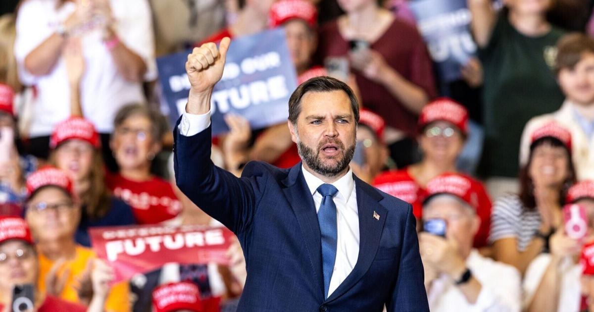
Vice President JD Vance endorsed Zach Lahn for Iowa governor during a Council Bluffs rally, while also backing congressional candidate Chris McGowan and crit...
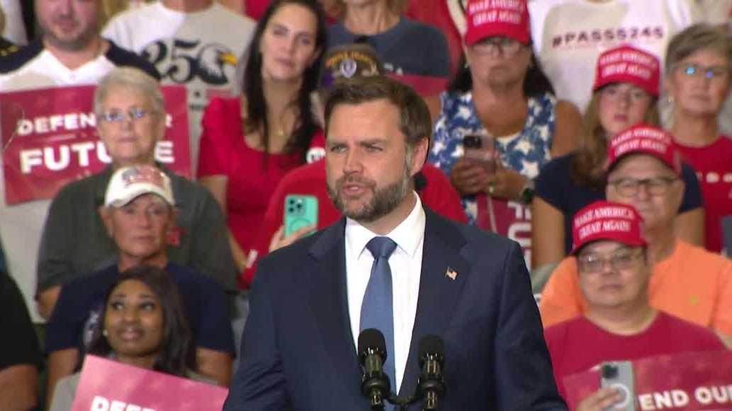
Vance and candidates met in Council Bluffs, where voters from both sides of the river showed up to hear the VP make his case for why Iowans should vote red.

Vice President JD Vance visits Council Bluffs alongside Iowa gubernatorial candidate Zach Lahn and others for a rally at the Mid-America Center.
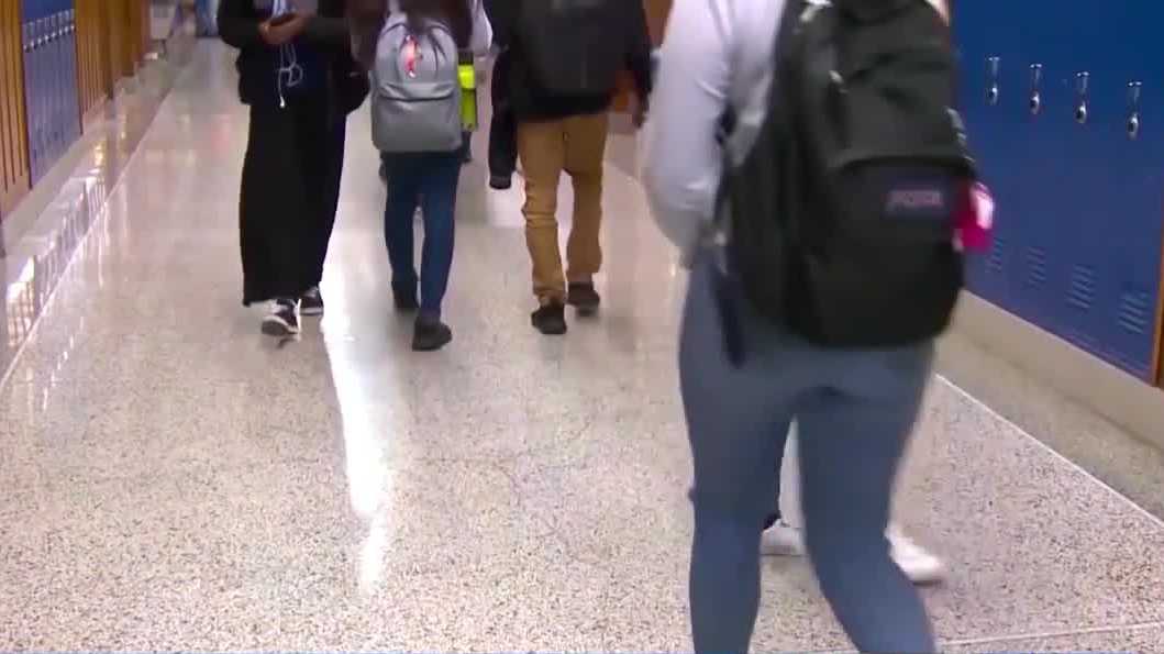
ACLU of Iowa's nearly 40-page report looked at federal data, national studies and requested records from the state's school districts and law enforcement. W...

People say they're used to this type of weather but are struggling with the contrast between extreme heat and cooler weather. They said the heat can hurt the...

Police Service Dog Mill — named for Army Sgt. Joseph Milledge of Glenwood — is partnered with Council Bluffs Officer Nathan Classe

The Iowa Supreme Court has reinstated the law license of a lawyer convicted of dealing drugs while serving as Council Bluffs city attorney.
Nearby
Coverage from the closest nearby communities.
State
A short selection from Iowa; city and nearby coverage come first.
City Guide
News, maps, weather, travel, restaurants, attractions, and nearby places.
Council Bluffs is in Pottawattamie County, Iowa.
Region: Iowa
51501, 51502, 51503
NewsSpoiler connects local pages with structured news discovery through https://api.newsspoiler.com.
The original Council Bluff was on the Nebraska side of the Missouri River at Fort Atkinson, about 20 miles northwest of the present city, named by Lewis and Clark for the bluff where they met the Otoe on August 2, 1804. In the 1830s the Iowa side became a reservation for Chippewa, Ottawa and Potawatomi of the Council of Three Fires who were forced from the Chicago area under the Treaty of Chicago. The largest group were Potawatomi led by Sauganash, known in English as Billy Caldwell, son of the British loyalist William Caldwell and a Mohawk woman. They first settled between Leavenworth and St. Joseph, but after the Platte Purchase of 1837 they were forced onto their reservation at Council Bluffs, where Sauganash's village was called Caldwell's Camp and Army dragoons built a small fort nearby.
In 1838 and 1839 the missionary Pierre-Jean De Smet founded St. Joseph's Mission to the Potawatomi. He was appalled by the violence of the whiskey trade and tried to protect the tribe from unscrupulous traders, and he contributed to Joseph Nicollet's mapping of the upper Midwest, drawing the first detailed European map of the Council Bluffs area. Until about 1853 the town was known as Kanesville, the starting point of the Mormon Trail and the northernmost of the emigrant trail towns, where a steam ferry carried wagons and cattle across the Missouri. In 1869 the first transcontinental railroad to California was connected to the eastern rail network at Council Bluffs. Sources Wikipedia: Council Bluffs, Iowa
41.2529540, -95.8809920
11:06 AM America/Chicago
Pottawattamie County
Local weather data is temporarily unavailable.
Find hotel options near Council Bluffs for visits, events, and local travel.
Compare dining options, reservations, delivery, and nearby local food stops around Council Bluffs.
Explore parks, museums, landmarks, and things to do around Council Bluffs.
Nearby Places
Use nearby links to move through the same state and county structure.
NewsSpoiler organizes Council Bluffs coverage with city and nearby headlines, source links, maps, weather, ZIP codes, nearby cities, travel links, restaurants, and attractions so readers can move naturally through nearby local coverage.
